
Surveying Waterfront Property in Charleston: What Every Property Owner Should Know
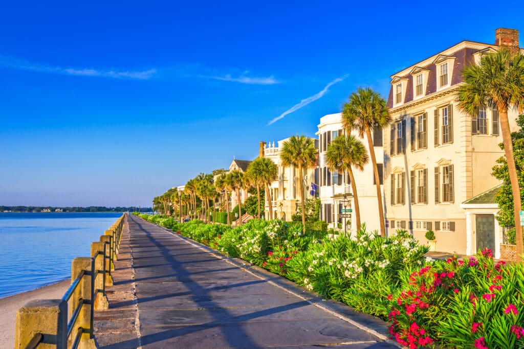
Charleston‘s waterfront properties offer some of the most desirable views and highest property values in South Carolina. Whether your property borders a tidal creek, marsh, river, harbor, or the Atlantic Ocean, waterfront land comes with unique surveying challenges that can significantly impact construction, permitting, property boundaries, and long-term value.
Before building a dock, adding a pool, constructing a home addition, or purchasing waterfront property, understanding the role of a professional land survey can save time, money, and potential legal issues.
Why Waterfront Surveys Are Different
Unlike inland properties, waterfront parcels often involve additional regulatory boundaries, environmental restrictions, and coastal management requirements.
A waterfront survey may need to identify:
- Property boundary lines
- Marsh and wetland boundaries
- Mean high water lines
- OCRM Critical Area Lines
- FEMA flood zone information
- Easements and access rights
- Existing docks, bulkheads, and shoreline improvements
- Setback requirements
These elements can directly affect where and what you are allowed to build on your property. Charleston-area waterfront parcels are often subject to additional state and local regulations that do not apply to inland properties.
Understanding Charleston’s OCRM Critical Line
One of the most important considerations for waterfront property owners is the OCRM Critical Area Line.
The South Carolina Department of Environmental Services (formerly DHEC-OCRM) establishes Critical Area Lines to identify the boundary between upland property and protected coastal resources. Construction activities near or seaward of this line often require additional permitting and review.
In Charleston, the Critical Area Line may influence:
- Home additions
- Pools
- Docks and piers
- Bulkheads and revetments
- Septic systems
- Subdivisions
- New home construction
A current survey showing the certified Critical Area Line is often required during permitting and development review.
Waterfront Property Boundaries Are Not Always Obvious
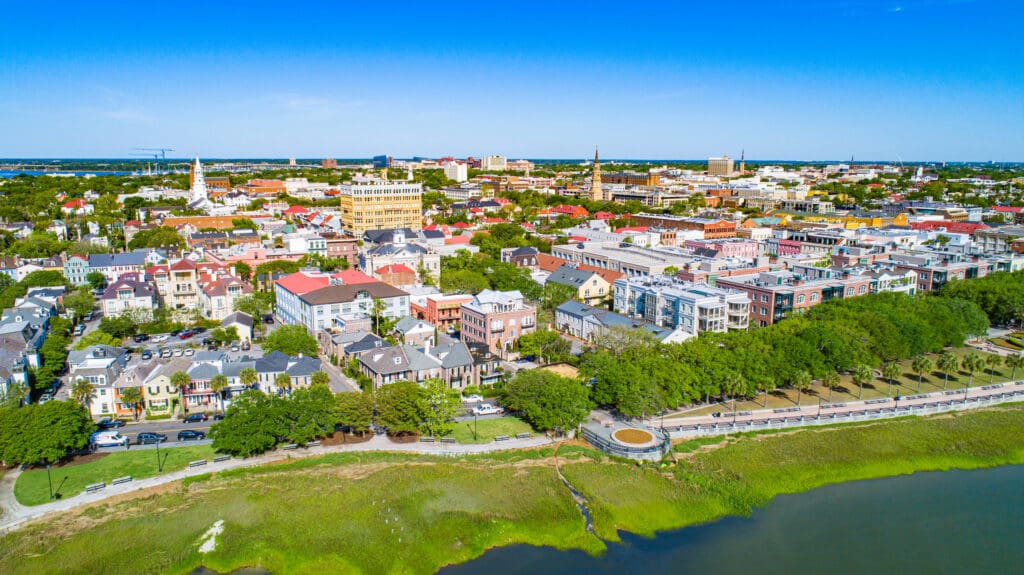
Many waterfront property owners assume the shoreline represents their property boundary.
In reality, the legal property line may differ significantly from what appears to be the edge of the water. Tidal fluctuations, marsh systems, accretion, erosion, and historical property descriptions can create confusion regarding ownership limits.
A professional boundary survey provides the information needed to:
- Confirm ownership limits
- Locate encroachments
- Verify fence and structure locations
- Resolve neighbor disputes
- Support real estate transactions
For waterfront properties, accurate boundary determination is especially important before investing in expensive improvements.
Dock Permits and Waterfront Improvements
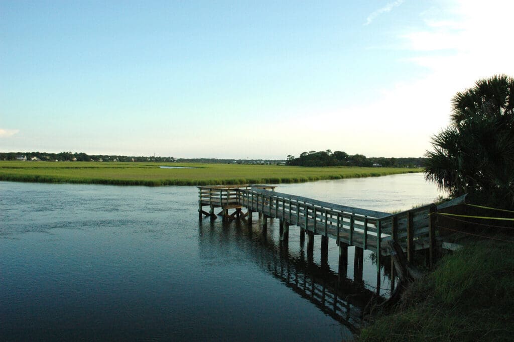
Planning a new dock or replacing an existing one?
Most waterfront construction projects in Charleston require a survey before permitting can begin.
A survey may be used to document:
- Property boundaries
- Existing shoreline conditions
- OCRM jurisdictional boundaries
- Dock alignments
- Water access corridors
- Adjacent property impacts
Proper surveying helps engineers, permit consultants, and regulatory agencies evaluate the project efficiently and reduce delays during the approval process.
Flood Zones and Elevation Information Matter
Charleston’s coastal environment makes flood risk a major consideration for property owners.
Many waterfront properties require elevation information for:
- FEMA flood insurance
- Elevation Certificates
- New construction
- Substantial improvements
- Building permit applications
Surveyors establish accurate elevations tied to published vertical datums, allowing property owners, engineers, and architects to design projects that comply with floodplain requirements.
Understanding your property’s elevation before construction begins can prevent costly redesigns later.
Buying Waterfront Property? Get a Survey First
Waterfront real estate represents a significant investment.
Before closing on a property, a current survey can identify:
- Boundary issues
- Encroachments
- Easements
- Dock permit concerns
- Wetland impacts
- Critical Area restrictions
- Potential building limitations
Many buyers discover development restrictions only after closing. A survey performed during due diligence provides clarity before making a major financial commitment.
Why Charleston Property Owners Choose H&M Surveying
H&M Surveying provides professional waterfront surveying services throughout Charleston, Mount Pleasant, Isle of Palms, Sullivan’s Island, Johns Island, James Island, Kiawah Island, Seabrook Island, and the surrounding Lowcountry.
Our team combines traditional surveying methods with advanced GPS, robotic total stations, drone mapping, and LiDAR technology to deliver accurate, reliable data for coastal properties.
Whether you need a boundary survey, topographic survey, FEMA Elevation Certificate, dock survey, subdivision survey, or assistance with waterfront development, H&M Surveying has the experience to help you move forward with confidence.
Contact H&M Surveying
Thinking about buying, building, or improving waterfront property in Charleston?
Contact H&M Surveying today to discuss your project and learn how our coastal surveying services can help protect your investment.
Frequently Asked Questions
In most cases, yes. A survey is typically required to establish property boundaries, shoreline conditions, and regulatory constraints before the permitting process begins.
A Critical Area Line is the boundary between upland property and protected coastal resources. Construction near this line may require additional state permitting and review.
A new survey is recommended whenever purchasing property, planning construction, subdividing land, resolving a boundary dispute, or applying for waterfront permits.
A survey can provide accurate elevations and identify FEMA flood zone information that may affect insurance requirements and construction design.
Potentially. Waterfront boundaries can be impacted by natural shoreline changes. A licensed surveyor can determine the current boundary location based on legal descriptions and applicable laws.
We provide surveying services throughout Charleston County, including Mount Pleasant, Isle of Palms, Sullivan’s Island, Johns Island, James Island, Kiawah Island, Seabrook Island, Folly Beach, North Charleston, and surrounding coastal communities.
