Infrastructure & Civil Surveying Services
H&M Surveying partners with engineers, municipalities, and contractors to support the infrastructure that keeps communities moving. From roads and bridges to water systems and utility corridors, we provide topographic surveys, right-of-way plats, construction staking, and GIS data collection to help projects stay on track. Combining time-tested expertise with innovative tools like UAV and GIS, we deliver the accuracy you need for even the most complex civil engineering challenges.
Infrastructure
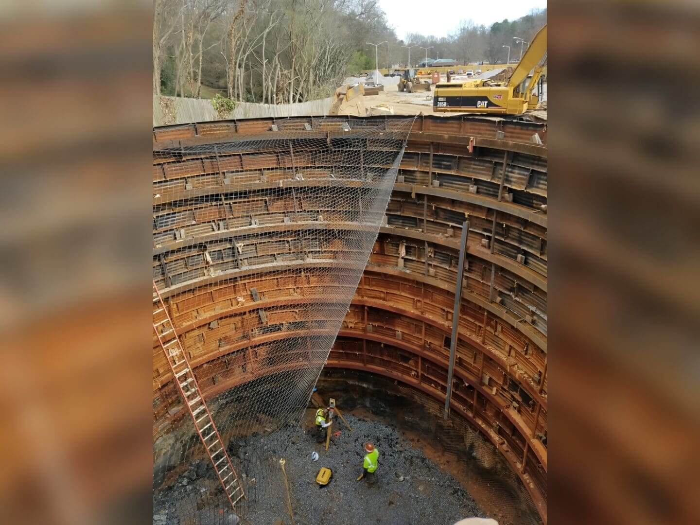
Greenville Big Dig
ReWa Utility Line Greenville, SC
H&M Surveying provided critical surveying support for Renewable Water Resources’ (ReWa) transformative wastewater tunnel project beneath Greenville, South Carolina. Spanning 1.3 miles from Cleveland Park to Hudson Street near downtown, this 10-foot diameter tunnel was designed to connect and modernize the entire city’s wastewater network, enhancing capacity and resilience for decades to come.
Our team performed precise construction staking above ground to guide the alignment of the tunnel and support critical surface infrastructure throughout the project. Leveraging robotic total stations and survey-grade GPS, we established and maintained a robust control network to ensure accuracy across the tunnel’s considerable length and depth.
Upon completion, H&M Surveying conducted a full as-built survey of the tunnel’s 7-foot fiberglass pipe system. The pipe began approximately 40 feet below the surface at Cleveland Park and extended to a depth of nearly 100 feet at Hudson Street. This work verified the precise location, alignment, and grade of the installed infrastructure, ensuring it met engineering tolerances for long-term reliability.
The project’s urban setting and substantial depth presented significant challenges, including navigating congested areas, maintaining accuracy over extended distances, and working near environmentally sensitive landmarks such as the Reedy River. H&M Surveying’s expertise, combined with advanced technology and seamless coordination with engineers and contractors, helped deliver the project on time and to exacting standards.
Our involvement in this high-profile initiative demonstrates H&M Surveying’s ability to support large-scale utility and infrastructure projects with exceptional precision and professionalism.
Riverbend Subdivision
Bluffton, SC
H&M Surveying was engaged to support a unique stormwater management assessment for a residential subdivision in Bluffton, South Carolina. Situated near mean sea level (MSL), the site presented an uncommon challenge: the interconnected system of ten stormwater ponds tied into each other and discharged to a single outlet where surface elevations rose and fell with the tide.
Our team performed detailed bathymetric mapping of the pond system to determine the true capacity of the subdivision’s stormwater infrastructure. Using advanced survey techniques, we accurately mapped the pond floors beneath approximately 0.43 feet of organic material to reach the underlying sediment surface. This work provided the subdivision with a clear and actionable understanding of its remaining stormwater storage capacity and informed future maintenance planning.
This project highlights H&M Surveying’s ability to deliver precise, reliable data in dynamic and environmentally sensitive coastal conditions.

Mill Village Wastewater Mapping
Greenville CO, SC
H&M Surveying partnered with the Metropolitan Sewer District to support a large-scale wastewater mapping initiative across several historic mill villages in Greenville County, South Carolina. The project focused on the Judson Mill, Dunean Mill, Mills Mill, and Union Bleachery Mill communities; areas with aging infrastructure and intricate utility networks.
Our team mapped over 300,000 linear feet of sewer lines and documented thousands of associated structures, including manholes, cleanouts, and lateral connections. Using a combination of robotic total stations and survey-grade GPS, we established precise control and captured highly accurate spatial data throughout these dense urban environments. The resulting dataset provided the utility with the critical information needed to modernize and maintain vital wastewater infrastructure serving these historic neighborhoods.
This project underscores H&M Surveying’s ability to tackle large-scale utility mapping efforts with advanced technology and deliver reliable data for planning and asset management in legacy systems.

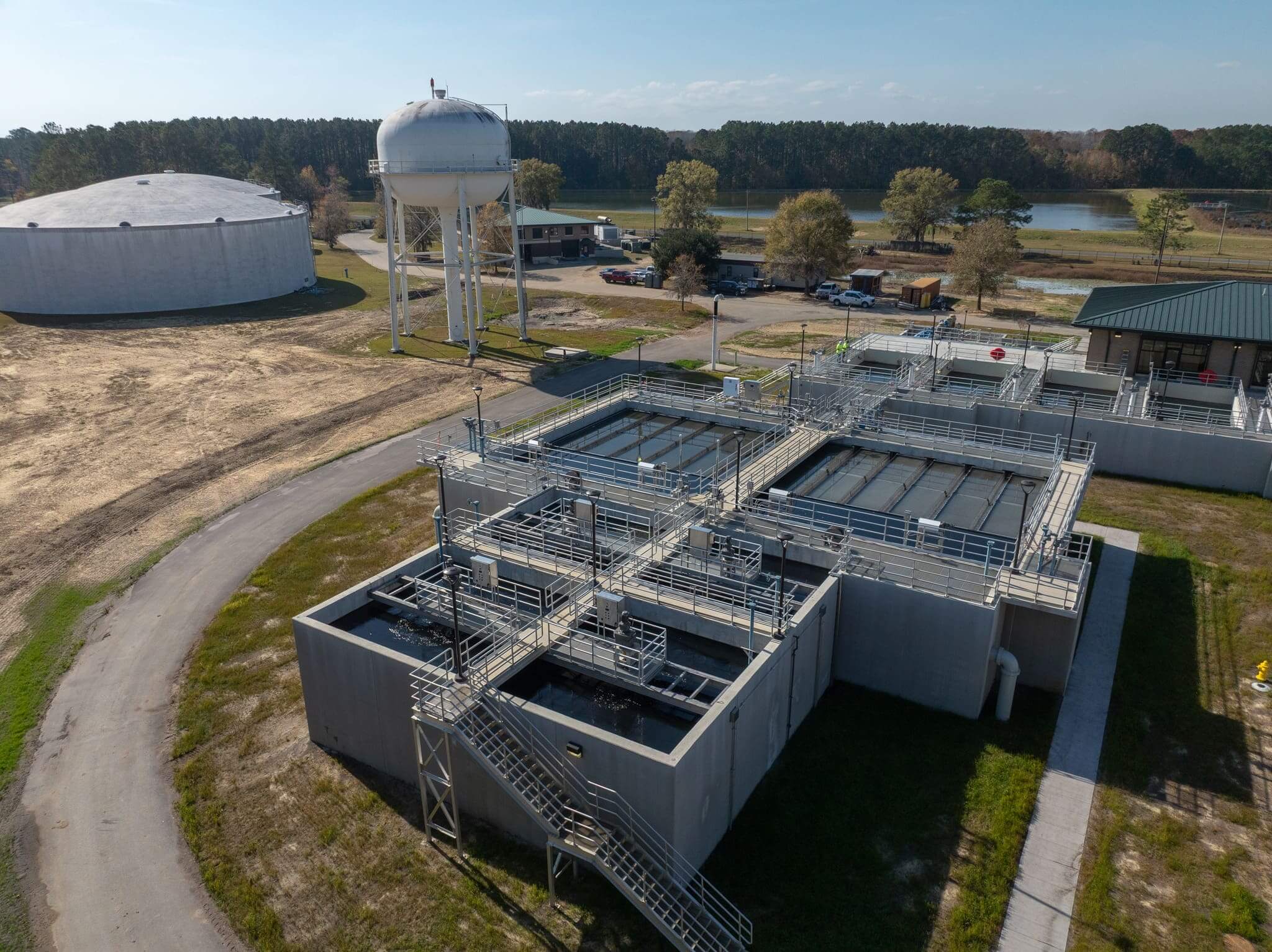
Raw Water Line
and Treatment Plant
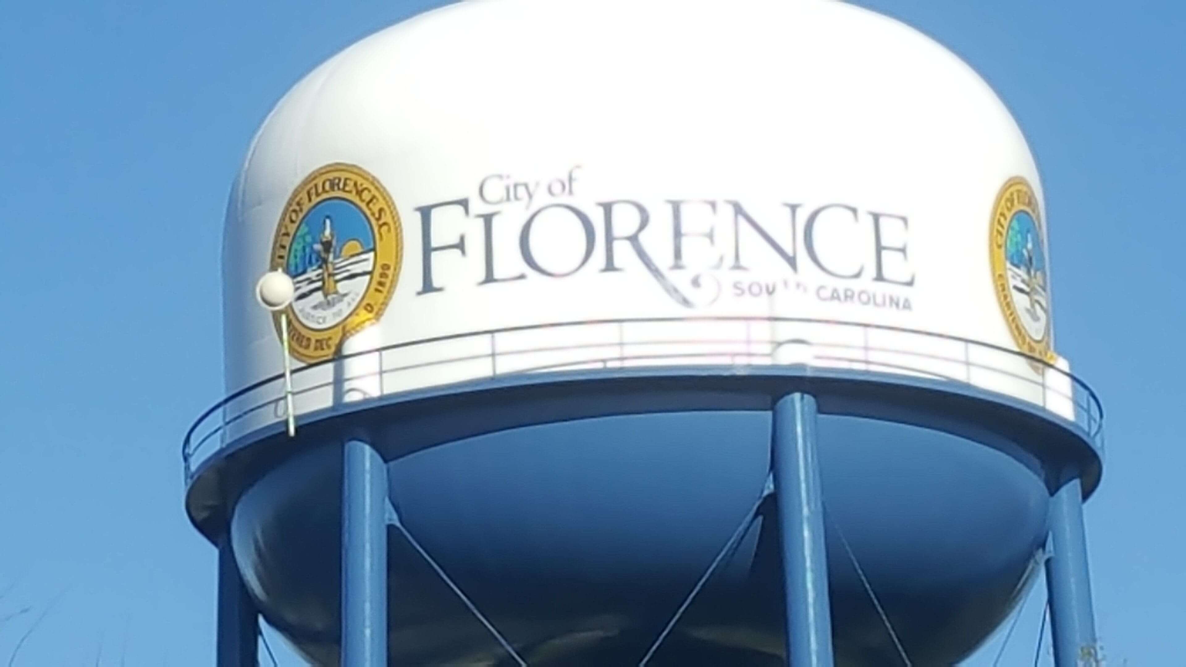
Florence, SC
The new raw water pump station, transmission line, and treatment plant project is a large-scale infrastructure initiative designed to deliver reliable water supply by drawing from the Great Pee Dee River, conveying it along the I-95 corridor, and treating it at a newly developed facility.
H&M Surveying’s role included providing comprehensive topographic and existing conditions surveying across multiple project components. This included detailed topographic survey at the pump station, corridor mapping along the I-95 transmission route, and full existing conditions surveying of the 65-acre treatment plant site. H&M’s work provided the accurate, survey-grade data necessary for engineering design, coordination, and construction planning across a complex, multi-phase project.
The result is a well-supported infrastructure development that enhances water supply reliability, system capacity, and long-term regional service, with accurate surveying serving as the foundation for successful design and execution.
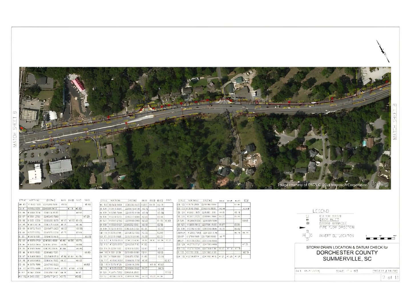
Dorchester Rd
Summerville, SC
H&M Surveying delivered precise surveying services along Dorchester Highway in Summerville, SC, where much of the project area lay just a few feet above mean sea level (MSL). These conditions made accuracy absolutely critical, while dense tree cover and low-lying terrain created challenges for consistent GPS coverage.
To overcome these obstacles, our team seamlessly adapted between GPS and robotic instrumentation. This approach ensured reliable accuracy throughout the project, providing the dependable data needed to support effective planning and development along this vital corridor.
Greenville Water
Greenville, SC
H&M Surveying supported Greenville Water with large-scale existing conditions surveying for water line replacement projects across its service area. These efforts focused on collecting accurate field data along thousands of linear feet of corridor, including roadway features, utilities, drainage, and surface conditions.
H&M’s services included establishing survey control, performing detailed topographic surveys along water line alignments, and identifying visible utilities and infrastructure to support engineering design. This data provided Greenville Water and its design partners with the reliable, survey-grade information needed to plan and execute system upgrades efficiently and safely.
The result is a critical foundation for ongoing infrastructure improvements, helping Greenville Water enhance system reliability, capacity, and long-term service delivery for the communities it serves.

Bay St.
Brunswick, GA
Bay Street in Brunswick, Georgia is a key coastal corridor supporting local traffic, drainage infrastructure, and access to the downtown waterfront area. As part of planned improvements, the corridor required detailed analysis to address stormwater management and drainage performance in a low-lying, coastal environment.
H&M Surveying’s role included performing existing conditions topographic surveying along Bay Street to support the design of stormwater improvements. This work involved collecting precise data on roadway geometry, drainage features, utilities, and surrounding surface conditions to provide engineers with a comprehensive understanding of how water moves through the site.
The result is a reliable foundation for stormwater system design, enabling more effective drainage solutions that improve flood mitigation, roadway performance, and long-term infrastructure resilience in Brunswick’s coastal setting.

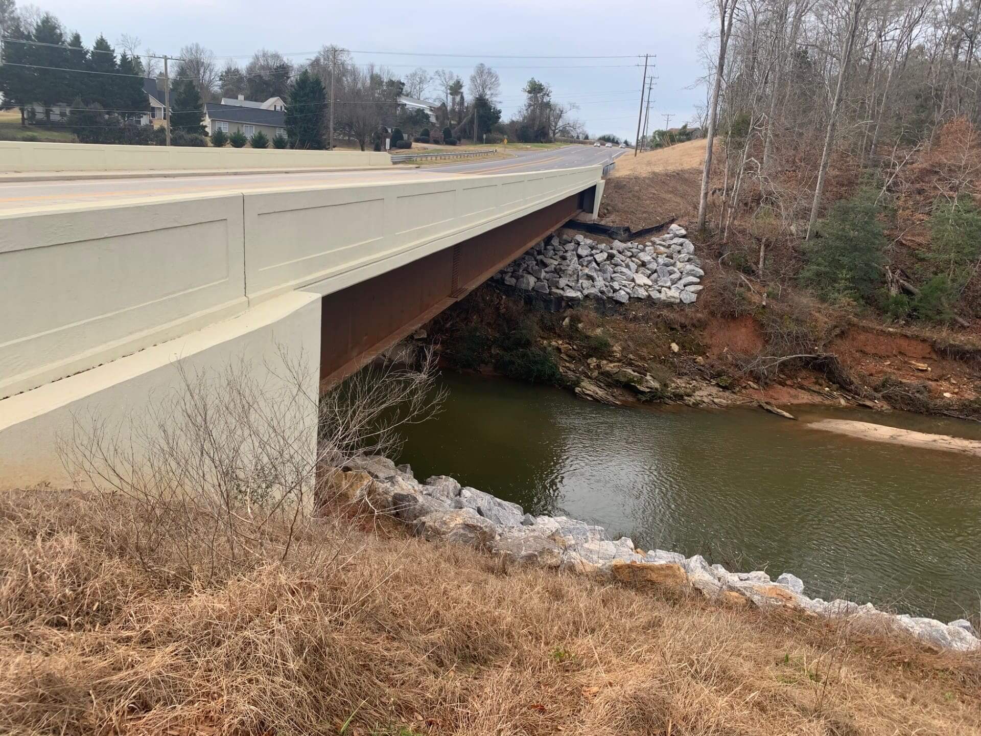
Georgia Rd. Bridge.
Simpsonville, SC
The W. Georgia Road bridge replacement in Simpsonville, South Carolina was a multi-year infrastructure project focused on improving roadway capacity, safety, and drainage along a critical corridor in Greenville County.
H&M Surveying’s role included providing comprehensive construction support services throughout the duration of the project. This included construction staking to guide bridge and roadway layout, real-time volumetric surveys to track earthwork quantities and project progress, and a final as-built survey to document completed conditions. H&M also performed right-of-way monumentation, ensuring property boundaries and corridor limits were accurately defined and preserved.
Working in coordination with GLF Construction, H&M delivered precise, timely data that supported efficient construction operations and quality control across all phases of the project.
The result is a successfully delivered bridge replacement that enhances transportation reliability, safety, and long-term infrastructure performance for the Simpsonville community.
ReWa Sewer Network
Greenville, SC
Renewable Water Resources (ReWa) GIS Enhancement Project in Greenville, South Carolina was a large-scale data improvement initiative focused on strengthening the accuracy and completeness of the utility network database.
H&M Surveying’s role included surveying and documenting thousands of previously incomplete or missing structures within ReWa’s GIS system, collecting both spatial and attribute data to bring the network into alignment with real-world conditions. This effort required high-accuracy field data collection and seamless integration with existing GIS infrastructure.
The result is a significantly enhanced GIS database, brought to within 1% of full completion, providing ReWa with reliable data to support planning, asset management, maintenance, and long-term system performance.
BJWSA Sewer Upgrade
Hardeeville, SC
The BJWSA treatment plant expansion and Cherry Point conveyance line project is a major infrastructure initiative supporting regional growth and increased utility demand. The project includes expansion of the Purrysburg Treatment Facility and installation of new conveyance lines extending from the Margaritaville development to the treatment plant, improving capacity and system connectivity.
H&M Surveying’s role includes providing comprehensive topographic surveying for both the conveyance corridor and the treatment plant site. This work involves detailed mapping of existing ground conditions, utilities, and features along the alignment, as well as full site data at the treatment facility to support design and expansion efforts.
The result is a well-supported utility improvement project that enhances system capacity, reliability, and long-term service delivery, with accurate survey data forming the foundation for efficient design and construction.
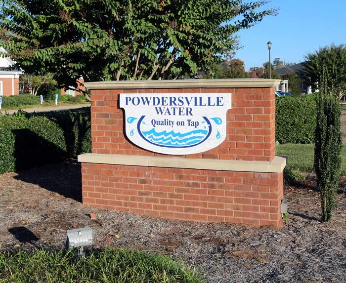
Powdersville Water
Powdersville, SC
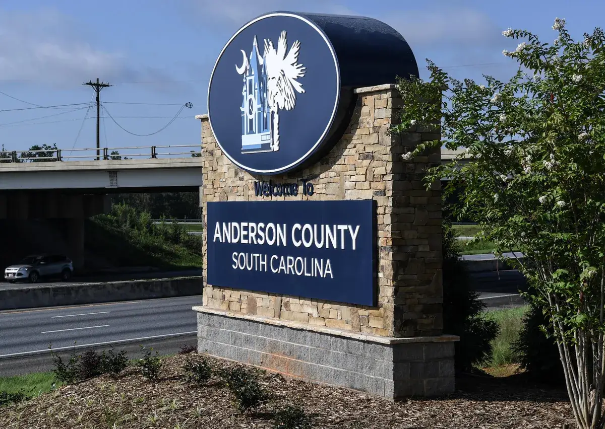
The Powdersville Water transmission line project in Anderson County, South Carolina is a key infrastructure improvement designed to enhance system connectivity and reliability across the service area. The project involved installing a new water line along Highway 86, creating a critical connection between systems on both sides of Interstate 85.
H&M Surveying’s role included providing topographic surveying and corridor mapping along the alignment, delivering accurate existing conditions data to support engineering design and construction planning. H&M’s work ensured proper coordination with roadway features, utilities, and right-of-way constraints along a heavily traveled corridor.
The result is an improved water distribution network that strengthens system redundancy, capacity, and long-term service reliability, with accurate survey data supporting efficient design and successful project delivery.
HWY 24 Force Main
Anderson CO, SC
The Highway 24 force main project in Anderson County, South Carolina is a critical wastewater infrastructure improvement designed to enhance system capacity and reliability within the regional sewer network. The project involved installation of a new force main along the Highway 24 corridor, supporting increased demand and improved system performance.
H&M Surveying’s role included providing topographic surveying and corridor mapping along the alignment, delivering accurate existing conditions data for engineering design and construction planning. H&M’s work captured roadway features, utilities, and surrounding conditions to ensure proper coordination within an active transportation corridor.
The result is a strengthened wastewater system that improves capacity, efficiency, and long-term service reliability, supported by precise survey data that enabled effective design and execution.