Surveying Services for Federal, State & Municipal Projects
H&M Surveying is a trusted partner for government projects at every level; federal, state, county, and municipal. Our team provides precise boundary surveys, topographic mapping, right-of-way plats, and construction staking to support public land, infrastructure, utility expansions, and environmental initiatives. With extensive experience collaborating with agencies such as FEMA, USDA NRCS, state DOTs, and county/ municipal engineering departments, we understand the unique requirements, regulations, and precision these projects demand. From small town improvements to large-scale federal contracts, H&M delivers accurate data and dependable service to keep critical public projects on track and built to last.

Pleasant Ridge Park
Greenville County, SC

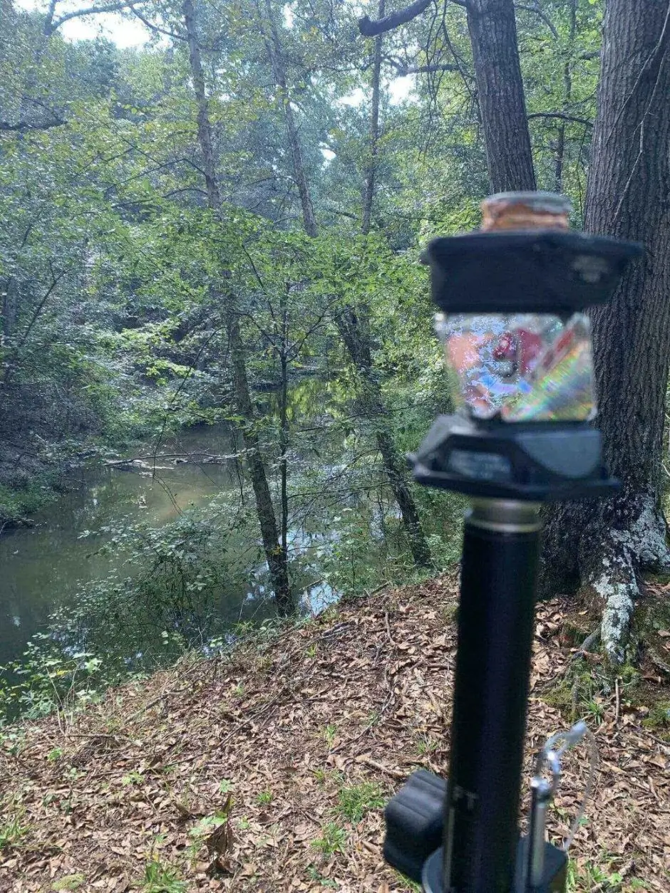
Dept. of Agriculture Conservation Easement
Sumter, SC
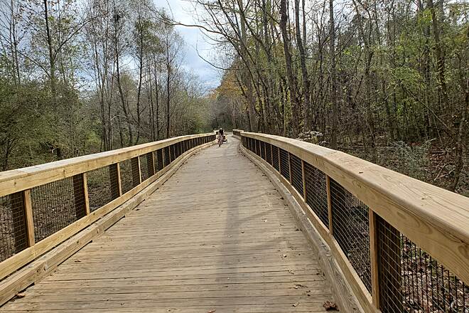
Euchee Greenway
Augusta, GA
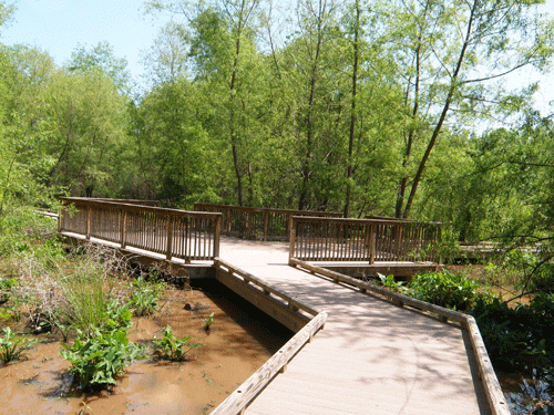
Reed Creek Boardwalk
Martinez, GA
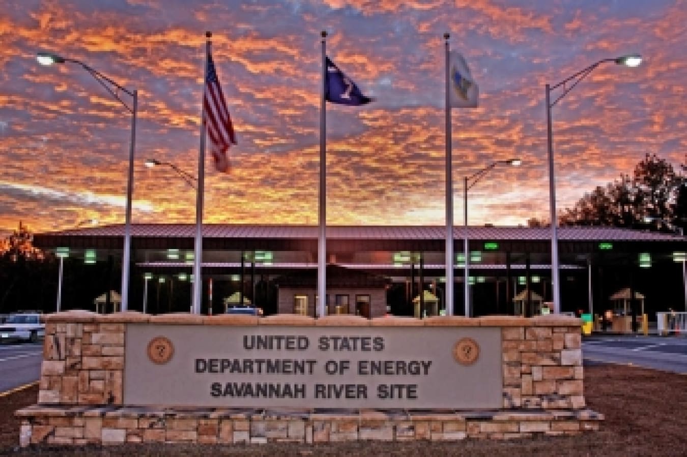
Savannah River Site
Aiken, SC
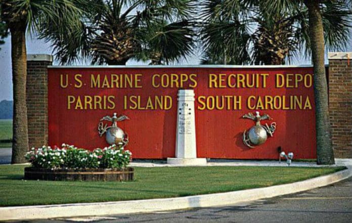
Parris Island MRCD
Beaufort, SC