
Charleston Flood Zones Explained: What Property Owners Need to Know
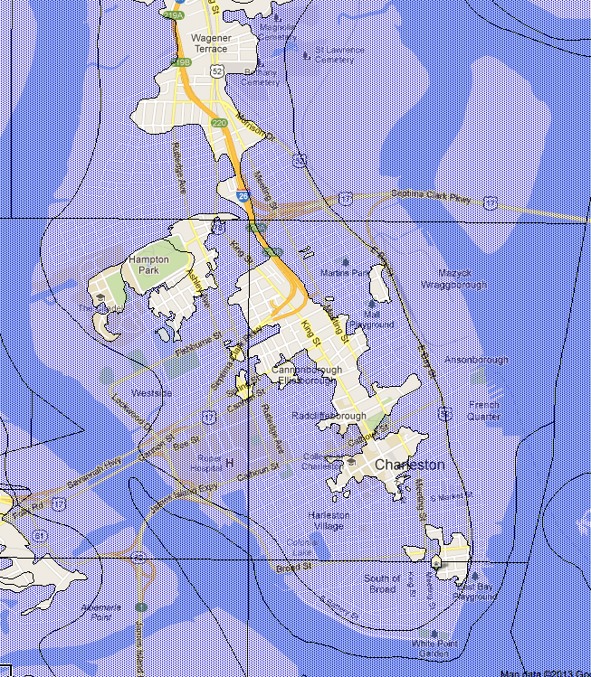
If you own property in the Charleston area or are considering purchasing land or a home, understanding flood zones is critical. Charleston’s coastal location, low elevations, tidal waterways, and history of hurricanes make flood risk an important consideration for homeowners, developers, lenders, and insurance providers alike.
At H&M Surveying, we frequently assist property owners throughout Charleston, Mount Pleasant, Summerville, North Charleston, Johns Island, and surrounding Lowcountry communities with elevation certificates, flood-related surveys, and FEMA map revisions. One of the most common questions we receive is:
“How do I know if my property is in a flood zone?”
The answer starts with understanding how FEMA classifies flood risk.
What Is a Flood Zone?
A flood zone is a geographic area identified by the Federal Emergency Management Agency (FEMA) that indicates the likelihood of flooding.
Flood zones are shown on FEMA Flood Insurance Rate Maps (FIRMs) and are used to determine:
- Flood insurance requirements
- Building regulations
- Development restrictions
- Lending requirements
- Elevation certificate needs
Properties located within higher-risk flood zones often require flood insurance when financed through federally backed lenders.
Common Flood Zones in Charleston
Zone X (Minimal Flood Risk)
Zone X is generally considered a low-risk flood area.
Properties located in Zone X:
- Typically do not require flood insurance
- Have fewer development restrictions
- May still experience flooding from severe weather events
While flood insurance is usually optional, many property owners choose to maintain coverage due to Charleston’s vulnerability to tropical storms and heavy rainfall.
Zone AE (Special Flood Hazard Area)
Zone AE is one of the most common flood zones throughout Charleston County.
Properties within Zone AE:
- Have a 1% annual chance of flooding (commonly called the “100-year floodplain”)
- Usually require flood insurance when financed
- Must comply with local floodplain development regulations
FEMA establishes a Base Flood Elevation (BFE) for these areas, which becomes an important factor during construction and permitting.
Zone VE (Coastal High Hazard Area)
Zone VE is generally found along the coast, barrier islands, marshes, and areas exposed to wave action.
Properties within Zone VE face:
- Higher flood risk
- Wave velocity hazards
- More stringent construction requirements
- Higher insurance costs
Many waterfront properties in the Charleston area fall within VE zones.
What Is Base Flood Elevation (BFE)?
Base Flood Elevation represents the predicted water surface elevation during a flood event with a 1% chance of occurring in any given year.
For example:
If the BFE for a property is 12 feet and the lowest adjacent grade is 9 feet, the property may be at greater risk of flooding than a nearby structure elevated above 12 feet.
This is where professional surveying becomes critical.
Accurate elevation data can significantly impact:
- Insurance premiums
- Development feasibility
- Building design
- Permit approval
What Is an Elevation Certificate?
An Elevation Certificate is a FEMA-recognized document prepared using survey-grade measurements that identifies how a structure relates to the established flood elevation.
The certificate includes:
- Building elevations
- Lowest floor elevation
- Lowest adjacent grade
- Flood zone information
- Surveyor certification
Many Charleston homeowners obtain an Elevation Certificate to:
- Reduce flood insurance costs
- Verify compliance with local regulations
- Support FEMA map revision requests
- Assist during property sales
In some cases, an accurate Elevation Certificate can result in substantial annual insurance savings.
Why Online Flood Maps Are Not Always Accurate
Many property owners rely solely on online GIS maps or lender determinations.
However, FEMA flood maps are regional planning tools and may not reflect site-specific conditions.
Factors such as:
- Fill placement
- Updated grading
- New construction
- Improved drainage
- Topographic changes
can create differences between mapped flood zones and actual ground elevations.
This is why survey-grade elevation data is often necessary before making important property decisions.
Can a Property Be Removed from a Flood Zone?
In some situations, yes.
If survey data demonstrates that a structure or parcel is naturally above the established Base Flood Elevation, a property owner may qualify for:
Letter of Map Amendment (LOMA)
A LOMA is issued by FEMA when natural ground elevations support removal from a Special Flood Hazard Area.
Letter of Map Revision Based on Fill (LOMR-F)
A LOMR-F may be available when approved fill has elevated a property above flood elevations.
These processes require precise survey data and supporting documentation.
Flood Zones and Development in Charleston
Floodplain regulations affect nearly every stage of land development.
Developers and engineers often require:
- Boundary surveys
- Topographic surveys
- FEMA elevation studies
- Floodplain analysis
- Construction staking
before permits can be issued.
Understanding flood-related requirements early in the project can prevent costly redesigns and permitting delays.
Charleston Flood Zone Frequently Asked Questions
You can begin by reviewing FEMA flood maps or consulting a professional surveyor who can verify the property’s relationship to current floodplain boundaries.
Flood insurance is typically optional in Zone X, although many Charleston property owners choose coverage due to coastal storm risks.
Yes. In many cases, accurate elevation data can help insurance providers more accurately assess flood risk and potentially reduce premiums.
A survey alone does not remove a property from a flood zone, but it can provide the elevation data necessary to support a FEMA map amendment request.
The timeline depends on site access, property complexity, and current workload, but most residential certificates can be completed relatively quickly once field data is collected.
Need Help Understanding Your Charleston Flood Zone?
Whether you’re purchasing property, planning construction, seeking flood insurance savings, or evaluating development opportunities, accurate survey data is essential.
H&M Surveying provides professional flood-related surveying services throughout Charleston, Mount Pleasant, Summerville, North Charleston, Johns Island, Daniel Island, Kiawah Island, and surrounding Lowcountry communities.
Our team can assist with:
- Elevation Certificates
- FEMA LOMA Applications
- Topographic Surveys
- Boundary Surveys
- Floodplain Mapping Support
- Construction Layout and Staking
When it comes to flood risk, accurate information matters. Understanding your property’s elevation today can help you make better decisions tomorrow.
